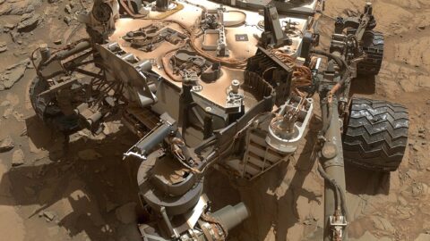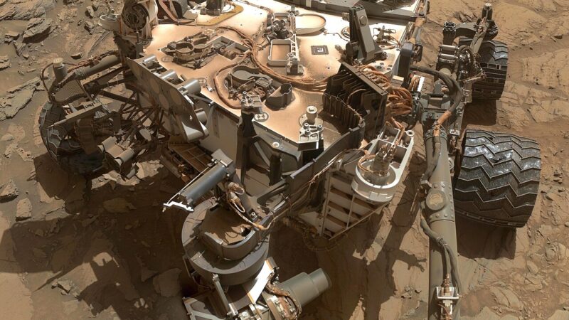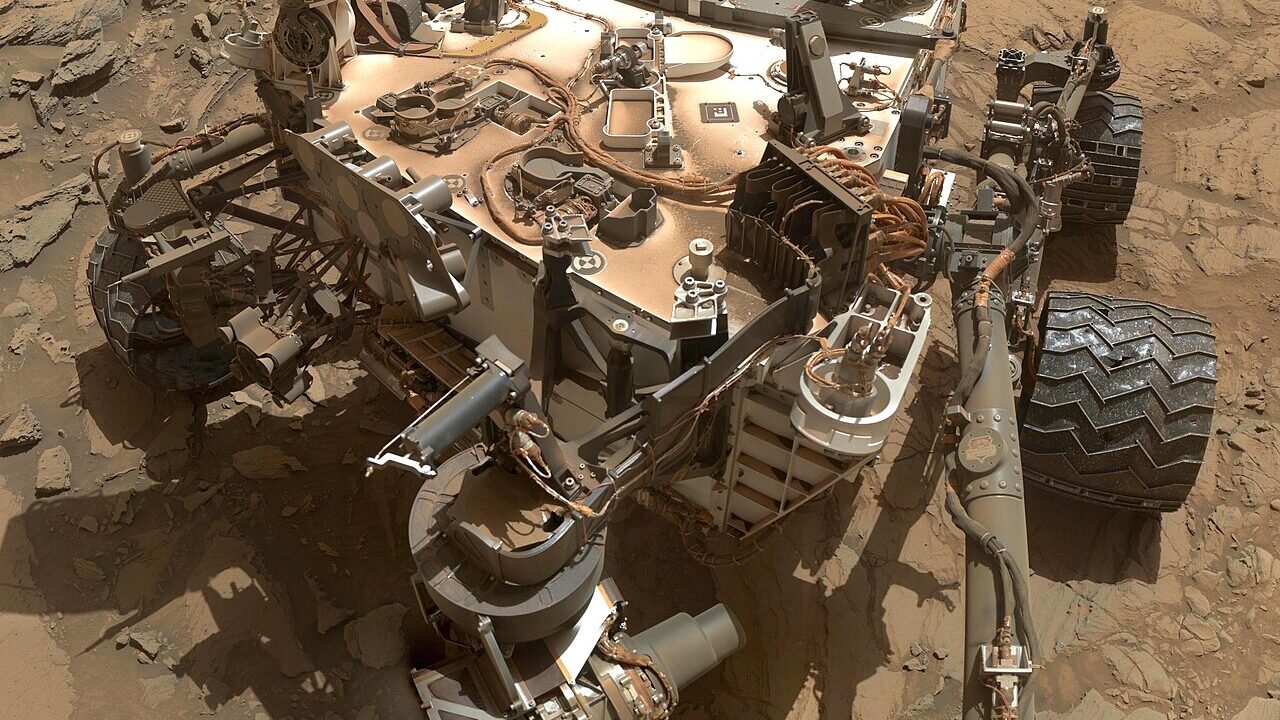
NASA has released a striking dawn image from Mars, captured by the Curiosity rover’s Mastcam about an hour after sunrise on the slopes of Mount Sharp.
The image shows yardang cliffs, ridges carved by wind over immense spans of time. Scientists say the layer in view may be ancient wind-blown sediment or volcanic ash that hardened into rock roughly three billion years ago. The unit stretches about 16 kilometres, giving researchers a long, readable record of Mars’s changing climate.
Curiosity has now climbed more than a kilometre in elevation since landing in Gale Crater, the most any rover has climbed on Mars. Each layer it passes is effectively a page from an earlier era, when Mars was warmer and wetter than the cold desert the rover drives through today.
Dawn images like this one are more than postcards. Low-angle light throws surface textures into relief, helping geologists read the direction of ancient winds and judge how hard or soft a rock layer is before deciding where to drive or drill next.
Canada has a working stake in Mars science. Canadian researchers participate in rover science teams, and the Canadian Space Agency has a long record in planetary instrumentation and mission operations. Data from Curiosity feeds models that Canadian scientists also use to understand cold, dry environments, including Canada’s own High Arctic, which serves as a Mars analogue site.
The rover, which landed in 2012, is well beyond its original mission length, yet it continues to return data that reshapes how scientists think about Mars’s habitability. The new panorama adds one more dawn to that record, and one more clue that the planet’s past was far more dynamic than its quiet present suggests.
NASA has published the full image through its Jet Propulsion Laboratory channels.